Understanding the concept of RTK GPS
RTK GPS can be defined as a system of correction capable of real time positioning accuracies to the centimeter level. RTK GPS does not operate with laisser faire principles like traditional GPS systems, which accept the relevant satellite only. Many base stations are used and a rover receiver is brought into play. The known central base station collects GPS data and sends the derived data to the rover correcting its own readings. Such procedure eliminates distortions made by the atmosphere, slippage of the clocks on the satellites, and so forth. And the accuracy of the position determination is substantially higher than the obtained earlier.
How RTK GPS Enhancements Precision Navigation
On the need for accuracy
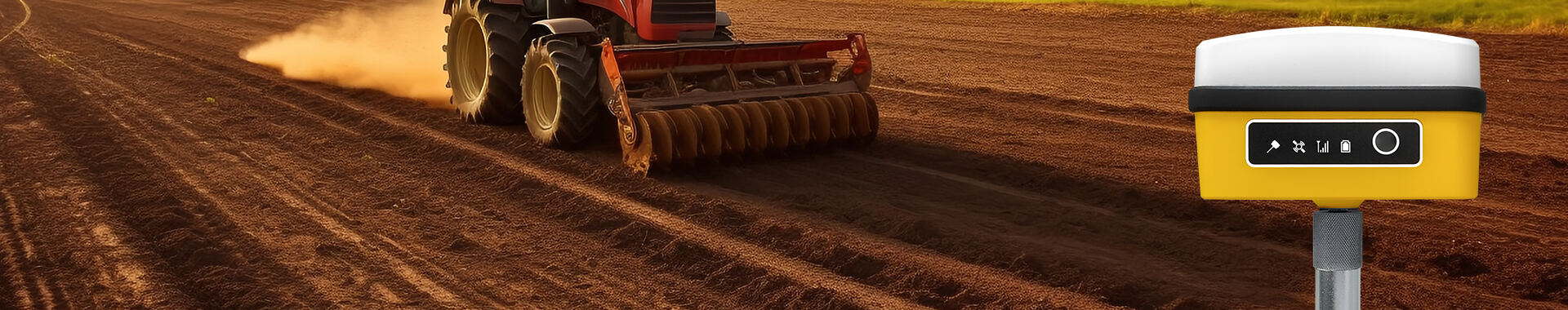
Positional accuracies up to centimeters can be experienced by receivers while surveying, thanks to RTK GPS. This is unlike standard GPS accuracy which is on the level of meters. This RTK GPS level of precision is greatly beneficial in areas that require placement of systems at a specific location including precision farming and the steering of autonomous drones during surveys flying over the terrain.
Amazing advancements of RTK GPS in Difficult Conditions
RTK GPS is beneficial in places where rough weather or busy spaces would block the satellites. The correction data assists in overcoming the loss of signals, as well as multipath errors, ensuring that the navigation system is functional regardless of the level of complexity encountered.
Needs Assessment
Many fields such as construction and land management heavily rely on position data in order to plan as well as to execute various activities. The RTK GPS helps the decision makers obtain precise location information which boosts the workflow and end results.
Use of Additional Features
One of the specific ways RTK GPS is offered is embedded into the inertial measurement units (IMUs), blending it with machine learning and other complicated navigation systems. These can improve the actual data positioning as well as offer complex functions like predictive analysis and continuous surveillance.
Using Maskura Technology Real time Kinematic GPS receivers
Maskura Technology provides state of the art RTK GPS services tailored to high-end specialists requiring accurate geolocation. Our maneuverable RTK GPS solutions are inherently designed to be vertically mounted onto the currently available systems without risking on the accuracy.


 EN
EN AR
AR NL
NL FR
FR DE
DE HI
HI IT
IT JA
JA KO
KO PT
PT RO
RO RU
RU ES
ES SV
SV TL
TL IW
IW ID
ID VI
VI SQ
SQ TH
TH TR
TR MS
MS IS
IS HY
HY UR
UR BN
BN MN
MN