Portable RTK field navigation has revolutionized the way we do fieldwork thanks to technological advancements. These gadgets are small but powerful, making them highly convenient and efficient for use during fieldwork.
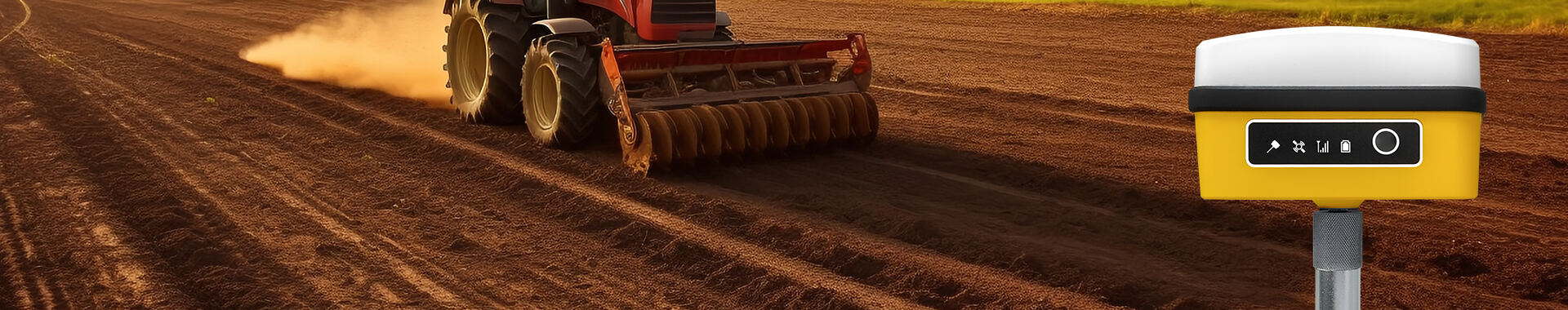
The term Real-Time Kinematic (RTK) refers to a technology that enables precise positioning at centimeter levels. In this case, portable RTK field navigation provides more accurate position information than traditional GPS can. This makes it widely used in geological surveys, agriculture, and environmental sciences among other fields where an exact location is necessary.
Another advantage of these systems is their small size, which means that anyone can carry them easily. They can also be brought to where people are working on something in the field to provide real-time accurate positions. Whether working from a mountainous region with rough terrains or plains that stretch for miles on end where no landmarks exist – portable RTK field navigation will still serve as good navigational aid.
In addition to this, portable RTK field navigation boasts high adaptability too since they work well together with different types of receivers such as mobile phones, tablets or even dedicated RTK ones. Hence users have the freedom to select the most appropriate device for receiving and processing RTK signals based on what they require.
Generally speaking therefore, through furnishing exact positional data portable RTK Field Navigation tools greatly facilitate carrying out tasks in open spaces by saving time and making it easy for people working there.


 EN
EN AR
AR NL
NL FR
FR DE
DE HI
HI IT
IT JA
JA KO
KO PT
PT RO
RO RU
RU ES
ES SV
SV TL
TL IW
IW ID
ID VI
VI SQ
SQ TH
TH TR
TR MS
MS IS
IS HY
HY UR
UR BN
BN MN
MN