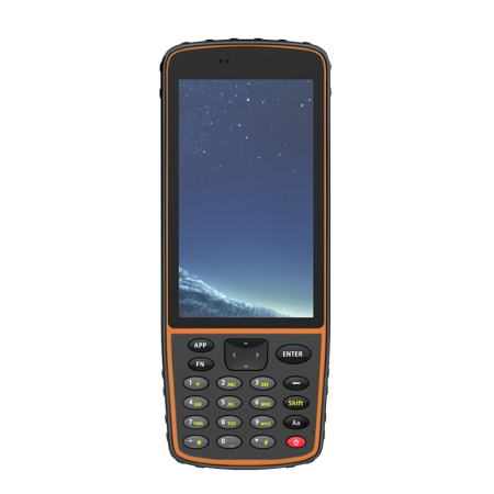
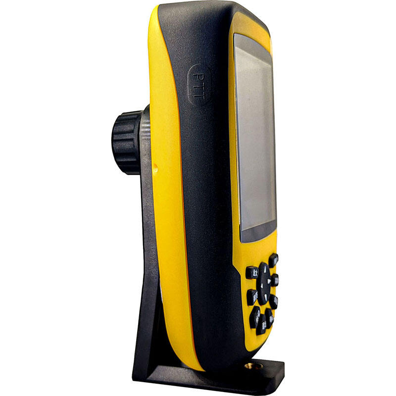
The 660RTK is a handheld RTK location terminal with built-in 4G, WIFI, Bluetooth and CORS services. adopt high precision RTK module, support GPS and other satellite navigation system 16 frequency signal reception; Beidou, Galileo and QZSS. The RTK fixed solution has a state positioning accuracy of up to 1cm for precision measurement applications.
The 660RTK also has sensors such as a barometric thermometer, a three-axis electronic compass, and a three-axis accelerometer, which is suitable for outdoor sports such as hiking, paragliding, and skydiving.
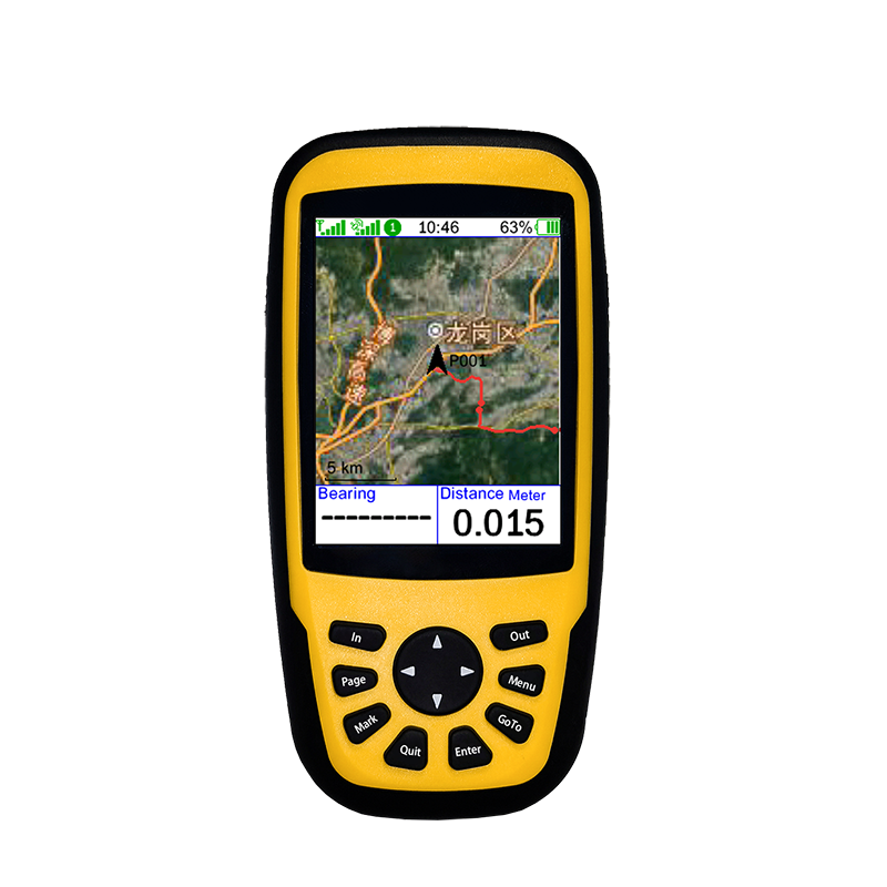
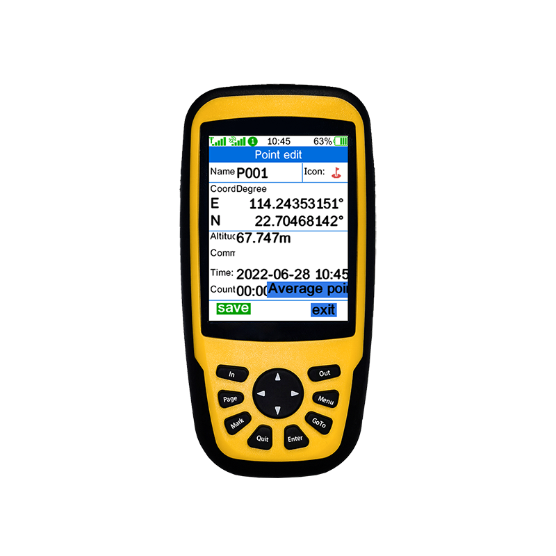
The 660RTK is optimized for industrial applications with point-picking and point-finding, sharing AB, and more point, topographic survey, grid tree planting, point measurement area, perimeter area, and length straight lines and curves. Built-in hundreds of coordinate systems, such as WGS84, Beijing 54, Xi 'an 80, UTM, MGRS,
660 rtk, etc. It also supports setting up three custom coordinate systems at the same time.
1. Function piles: Mark and find farm exit piles
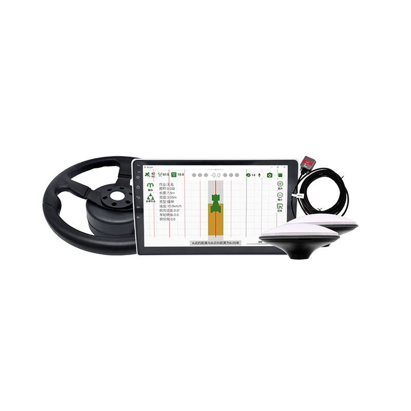
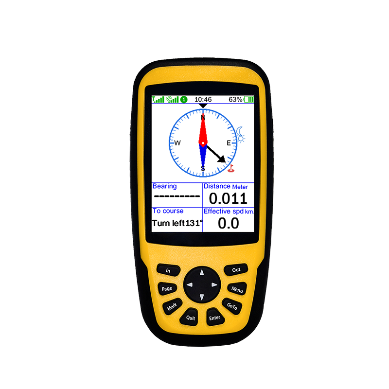
2. Share AB points: Provide AB point coordinate data for tractor autopilot
3. Area length: closed area, dotted area and other area length measurement method
4. levation analysis: The effort to collect and analyze terrain heights and estimate land formation
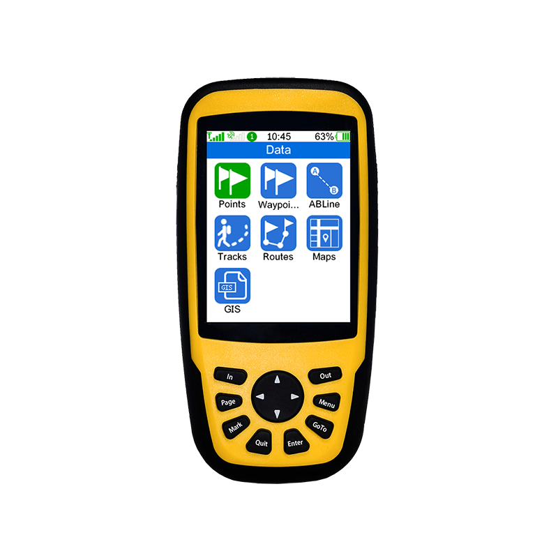
5. File format :GPX format, export to CSV, CAD file format
6. Waypoint file :GPX format, can be exported to CSV, CAD file format
7. Track files: 10,000 points per entry, unlimited number of files
8. Route files: 1000 points per entry, unlimited number of files
9. Area file: Up to 200 measurement records can be saved
10. Map format: Support MBTiles, RUN. GPS Atlas offline map
11. Multi-coordinate: Display 3 kinds of coordinates on the same screen, convenient and fast comparative data
12. Coordinate systems: Over 100 predefined and custom coordinate systems
Such as WGS84, Beijing 54, Xi 'an 80, national 2000, UTM, MGRS and so on.
13. Parameter estimation: Support Beijing 54, Xi 'an 80 conversion parameter calculation
14. Waypoint icon: Allows users to customize the waypoint icon
15. Bluetooth transfer: Support Bluetooth file sharing and use with GNSS
Product Specifications
|
GNSS performance |
|
|
Tracking frequency |
GPS/QZSS: L1/L5 ; BeiDou : B1I/B2a GALILEO: E1/E5a ; GLONASS: G1 (Optional) |
|
Data update frequency |
1Hz/5Hz |
|
Sensitivity |
Track:-165dBm ; Recapture:-160dBm ; Capture sensitivity:-148dBm |
|
Speed accuracy |
0.1m/s |
|
First positioning time |
Cold start: 27s ; Hot Start :2s |
|
RTK accuracy |
Horizontal accuracy: 1cm + 1ppm ; Elevation accuracy:2cm + 1ppm |
|
Application limit |
Speed:515m/s ; Height: 18km |
|
Data Format |
NMEA 0183 |
|
Physical Specifications |
|
|
Volume |
70X143X36mm |
|
Screen size |
3.2 Inch |
|
Screen Resolution |
240*320 |
|
Weight |
271 g |
|
Shell material |
ABS |
|
Battery capacity |
6000mAh Lithium battery |
|
Sensor |
Electronic compass, accelerometer, barometer, thermometer |
|
External interface |
Type-C |
|
Protection class |
IP65 |
|
Performance Specifications |
|
|
Battery life |
15H |
|
Supported Differential Methods |
NTRIP |
|
Storage card |
TF card, up to 128G, FAT32 file system |
|
Bluetooth |
Support Bluetooth 5.0, support SPP, BLE, HID and other profiles |
|
Telecommunication |
4G/WIFI |
|
Operating system |
MTK |
|
System language |
Chinese/English/Korean |
|
Operating environment |
|
|
Working temperature |
-20℃ ~ 70℃ |
|
Storage temperature |
-20℃ ~ 70℃ |
|
Waterproof and dustproof |
The equipment can completely prevent dust from entering; The low-pressure spray from any angle of the equipment has no effect. |


 EN
EN AR
AR NL
NL FR
FR DE
DE HI
HI IT
IT JA
JA KO
KO PT
PT RO
RO RU
RU ES
ES SV
SV TL
TL IW
IW ID
ID VI
VI SQ
SQ TH
TH TR
TR MS
MS IS
IS HY
HY UR
UR BN
BN MN
MN