Achieve unparalleled accuracy in geospatial mapping with our advanced RTK survey equipment, designed for professional land surveyors.
If you are a land surveyor looking for high-accuracy equipment, then our RTK survey devices will be perfect for you. It is important in professional surveying to have tools that give very exact measurements of the land being surveyed which is why these instruments were made. They cannot be done without on any project where professional surveys are being carried out because they provide such precise readings about distances between different points on the surface of earth. Anyhow no matter how tough or rough the situation may seem like – with their strong build and advanced functionalities, rtk survey equipments from us will never let one down while working under such conditions as those encountered during site investigations in hilly areas where there could also be poor visibility due foggy weather conditions caused by heavy rainfall received over night.
Our advanced RTK survey equipment is designed to offer unmatched precision in geospatial mapping. These devices are made with the latest technology which guarantees that they provide the correct measurements and reliable data collection for professional land surveyors. Our boundary surveys, topographic mappings or construction staking can be done using our RTK survey equipments that are designed to deliver highest level of accuracy required by any project.
The most modern RTK survey tools are crucial for achieving precision in surveys. Our RTK Surveying Instrumentation Range employs the latest technological developments for precise and fast data collection. When they use these cutting-edge state-of-the-art pieces of kit, cartographers can drastically cut down on mistakes made whilst increasing the overall quality of geographic information which will benefit all projects.
These professional gears of ours are made specifically to cater for the needs of those who want nothing short of excellence when it comes to collecting geospatial data. These tools come with features that improve accuracy and speed up work; hence they can be applied in various types of surveys. Be it a construction site or land development project, with our RTK survery gear a surveyor is able to get accurate readings within no time thereby making the process easier as well as fastening their working speed.
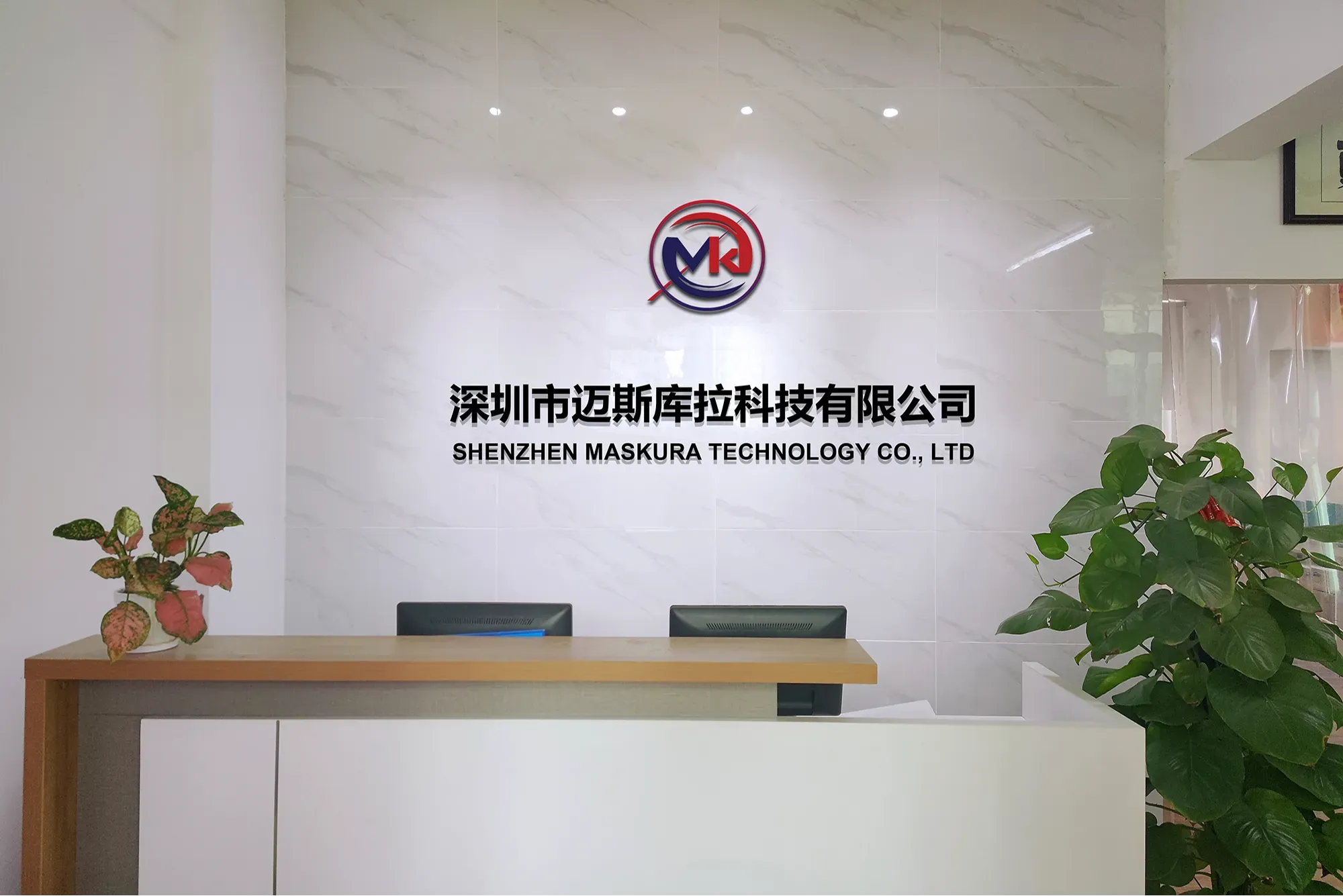
Shenzhen Maskura Technology, a renowned manufacturer of Hi-tech GNSS surveying equipment, has been at the forefront of innovation since its establishment in 2011. Specializing in a diverse range of products including RTK receivers, antennas, sophisticated software, land levelers, and autopilot systems, the company offers dependable and high-quality solutions to customers across the globe. With a focus on precision and accuracy, Maskura Technology's surveying equipment is trusted by professionals in various industries, ensuring accurate measurements and seamless operations. The company's commitment to excellence and continuous innovation has made it a leading choice for those seeking advanced surveying solutions.
Delivering cutting-edge technological advancements for diverse industries.
Ensuring superior product quality with rigorous testing and precision engineering.
Providing tailored solutions and excellent support to meet unique client needs.
Committed to meeting client needs with tailored solutions and exceptional support.
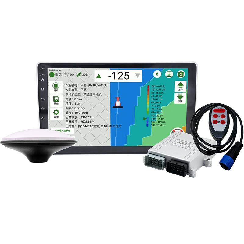
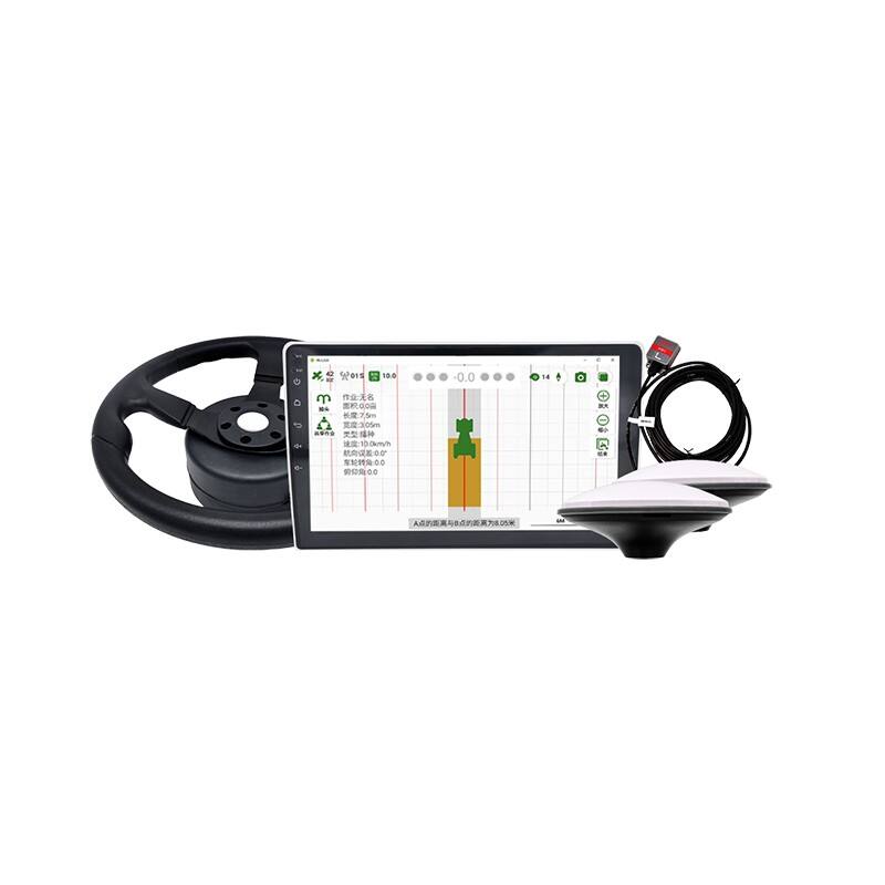
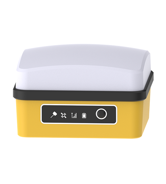
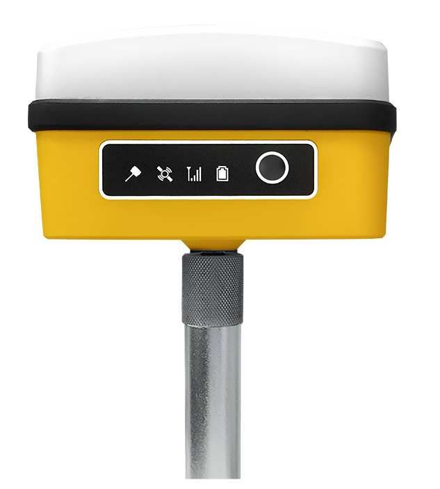
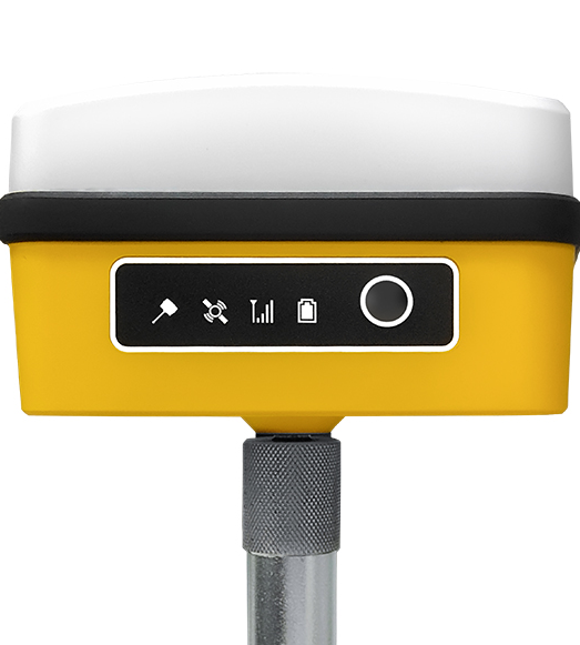
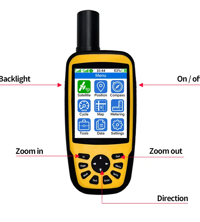
RTK (Real-Time Kinematic) surveying equipment is advanced technology used in land surveying and geodesy to provide highly accurate location data. This equipment utilizes the signals from Global Navigation Satellite Systems (GNSS) to achieve centimeter-level precision in positioning. RTK surveying systems typically consist of a base station and one or more rovers.
The base station is placed at a known location and collects GNSS data, which it then transmits to the rovers in real-time. The rovers are mobile units that receive both the base station data and direct GNSS signals from satellites. By comparing the two sets of data, the system can correct for errors caused by atmospheric conditions, satellite orbits, and other factors, thereby significantly improving positional accuracy.
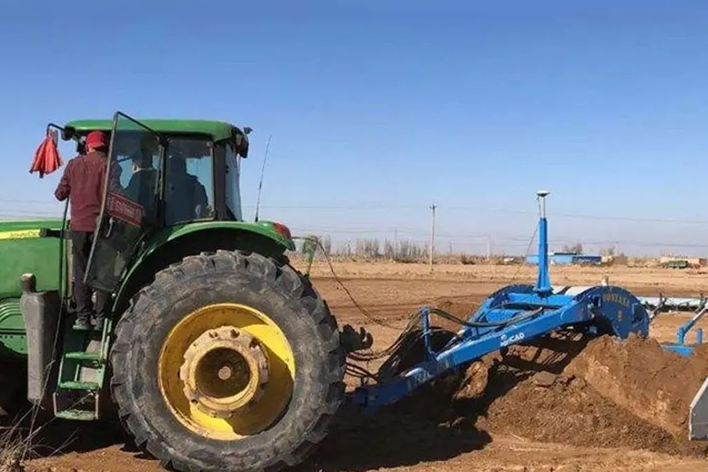
RTK technology is widely used in various applications, including construction, agriculture, and mapping, where precise measurements are critical. In construction, RTK surveying equipment helps in site preparation and monitoring. In agriculture, it is used for precision farming, enabling the accurate placement of seeds and fertilizers. In mapping, RTK systems provide detailed and accurate topographical data.
Overall, RTK surveying equipment is essential for tasks requiring high precision and reliability in location data, making it a vital tool in modern surveying practices.


 EN
EN AR
AR NL
NL FR
FR DE
DE HI
HI IT
IT JA
JA KO
KO PT
PT RO
RO RU
RU ES
ES SV
SV TL
TL IW
IW ID
ID VI
VI SQ
SQ TH
TH TR
TR MS
MS IS
IS HY
HY UR
UR BN
BN MN
MN