In the sphere of ultra-precision locating techs, most accurate brand is our RTK receivers. At Maskura Tech, we offer the most cutting-edge solutions for accurate land surveying as well as agricultural mapping among other construction site layout services.
Introduction:
At Maskura Tech, we know how important precise positioning is in today’s industries. Our RTK receivers make use advanced satellite navigation systems to provide real time centimeter-level accuracy. Whether you are going through rough terrain or doing detailed mapping tasks; with our RTK receivers, there will be no such thing as lack of precision again!
Key Features:
Centimeter-Level Accuracy: For precise positioning accuracy down to the centimeter, our RTK receivers apply advanced GNSS technology.
Real-Time Data: Get faster decision making and improved operational efficiency by having your data updated in real-time.
Robust Performance: In any condition that may arise from tough environments, this rugged design will ensure reliability of performance for any MKT receiver.
Versatile Applications: Land Surveying Agriculture Construction Infrastructure Development
Why Choose Maskura Tech?
At Maskura Tech we always strive to exceed what has already been achieved with regard to precise positioning technology thus allowing us push its boundaries even further than before. This means that all products under this category are made specifically for modern day requirements within different industries hence providing customers with necessary levels of accuracy along side dependability needed while undertaking various projects at work places . Therefore take your time looking through our variety so that you can find one which suits best depending on what kind/s type/s models features more practicality value added benefits etcetera – Explore our range of RTK receivers and discover how we can elevate your precision measurement capabilities.
Conclusion:
With Maskura Tech's RTK Receiver invest into tomorrow’s preciseness today! Be it maximizing farm productivity levels through better yields attainment strategies; coming up with elaborate building plans where every inch counts or just want to conduct an exhaustive land survey which leaves no stone unturned; these units are designed for achieving unmatched accuracy as well as efficiency during such tasks. Join other professionals who have already made Maskura Tech their number one choice provider for precision positioning solutions that redefine industry standards.
For more information, visit Maskura Tech to explore our full range of RTK receivers and other advanced positioning solutions.
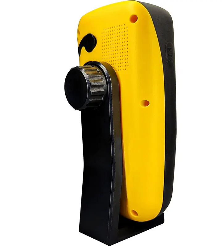
The RTK Receiver with Enhanced Signal Stability excels in challenging environments requiring signal stability. This receiver is created to maintain a level of performance even where signals are weak. It has strong design which guarantees continuity in data transmission thus making it suitable for usage in areas that are far from civilization or cities that have high chances of being interfered with.
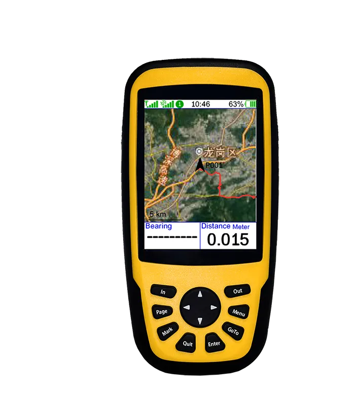
Enhance your agricultural activities using the highly precise RTK receiver. This receiver gives more accurate positioning that is needed for planting, fertilizing or harvesting. When you incorporate this farming equipment with the RTK receiver, it will help you manage crops better leading to higher productivity per acre and lower operational costs at the same time.
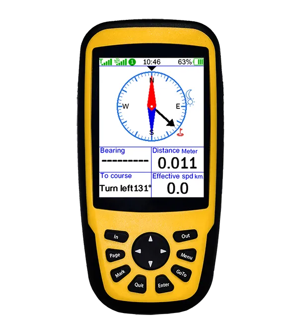
A Reliable RTK Receiver is necessary in construction projects. Accuracy and precision are key factors considered during such developments, which this receiver provides. This device ensures exact location data required for activities like site layout, grading or excavation. It is considered reliable because of its toughness as well as performance that make it usable throughout the whole process of building therefore increasing productivity and reducing mistakes.The Advanced RTK Receiver has been designed to offer the highest level of accuracy possible when it comes to land surveying. Modern technology incorporated into this gadget guarantees accurate measurements thus making it an indispensable tool among surveyors and geospatial professionals alike. Whether you are planning for a construction project or simply mapping out terrains, be rest assured that with the help of an advanced rtk receiver all your needs will be met with dependable data.
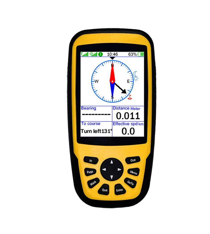
Our state-of-the-art RTK receiver leads the way in GNSS technology by offering advanced solutions in various industries. It is ideal for use in real-time positioning applications due to its high accuracy and ability to process data quickly. Whether it is navigation or asset tracking, this versatile and dependable device will never fail you.
Maximize your agricultural activities with a High-Accuracy RTK Receiver that delivers unmatched precision during planting seasons, fertilization periods as well as harvesting times among others where accuracy matters most. By incorporating this farming machinery component into your equipment inventory; you will be able to do better crop management leading to higher yields while at the same time saving on costs because of improved efficiency levels which can be attained through such integration.
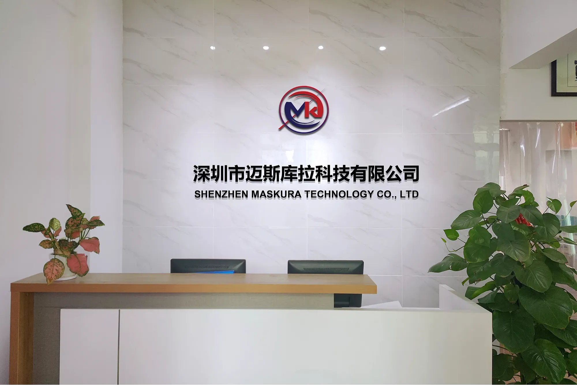
Shenzhen Maskura Technology, a renowned manufacturer of Hi-tech GNSS surveying equipment, has been at the forefront of innovation since its establishment in 2011. Specializing in a diverse range of products including RTK receivers, antennas, sophisticated software, land levelers, and autopilot systems, the company offers dependable and high-quality solutions to customers across the globe. With a focus on precision and accuracy, Maskura Technology's surveying equipment is trusted by professionals in various industries, ensuring accurate measurements and seamless operations. The company's commitment to excellence and continuous innovation has made it a leading choice for those seeking advanced surveying solutions.
Delivering cutting-edge technological advancements for diverse industries.
Ensuring superior product quality with rigorous testing and precision engineering.
Providing tailored solutions and excellent support to meet unique client needs.
Committed to meeting client needs with tailored solutions and exceptional support.
RTK GNSS receivers, or Real-Time Kinematic Global Navigation Satellite System receivers, are advanced positioning devices used primarily in surveying and precision agriculture. They utilize signals from multiple satellite constellations (such as GPS, GLONASS, Galileo, and BeiDou) to calculate highly accurate positioning data in real-time. Unlike standard GPS receivers that provide accuracy within several meters, RTK GNSS receivers can achieve centimeter-level accuracy by correcting signal errors caused by atmospheric disturbances and satellite orbit deviations.
These receivers operate by comparing the phase of the carrier wave from satellites with a reference station's known coordinates. This reference station, usually placed at a precisely surveyed location, transmits correction data to the RTK receiver in the field. By resolving these corrections in real-time, RTK GNSS receivers enable precise navigation, mapping, and automated machinery control. This level of accuracy is crucial for tasks requiring precise positioning, such as land surveying, construction layout, autonomous vehicles, and crop monitoring in precision agriculture.
Overall, RTK GNSS receivers play a pivotal role in improving efficiency and accuracy in various industries where precise spatial data is essential, offering significant advantages over traditional GPS systems in terms of reliability and performance.
Multiband RTK receivers generally perform better under canopies compared to single-band receivers. The ability to utilize multiple frequency bands (such as L1, L2, L5) helps mitigate signal disruptions caused by foliage and other obstructions typical in canopy environments. This multi-frequency capability allows the receiver to filter out noise more effectively and maintain higher accuracy by using signals that penetrate foliage better or are less susceptible to multipath effects. Consequently, multiband RTK receivers can achieve more reliable positioning and improved performance in challenging canopy conditions, making them preferable for applications like forestry, agriculture, and urban environments where canopy coverage is common.
Yes, a dual-frequency RTK receiver is generally better than a single-frequency RTK receiver for difficult environments. Dual-frequency receivers use signals from both the L1 and L2 GPS bands, which significantly improves their accuracy and reliability. Here are the key advantages:
Improved Signal Processing: Dual-frequency receivers can correct for ionospheric delays more effectively than single-frequency receivers. This leads to more accurate position fixes, especially in challenging conditions.
Faster Convergence Times: Dual-frequency receivers achieve a precise position fix faster because they process more data simultaneously. This is crucial in environments where the signal might be obstructed or reflected, such as urban canyons or dense forests.
Enhanced Multipath Resistance: Multipath errors occur when signals bounce off surfaces like buildings or trees before reaching the receiver. Dual-frequency receivers can better distinguish between direct and reflected signals, reducing the impact of multipath errors.
Greater Robustness: Dual-frequency receivers maintain better performance in areas with signal interference or weak signal strength. This makes them more reliable in difficult environments where single-frequency receivers might struggle to maintain a fix.
In summary, while single-frequency RTK receivers can be effective in open, unobstructed areas, dual-frequency receivers offer significant advantages in difficult environments due to their enhanced accuracy, faster convergence, better multipath resistance, and overall robustness. These benefits make dual-frequency RTK receivers a preferred choice for professional applications in challenging conditions.
RTK (Real-Time Kinematic) GPS receivers do not inherently require an internet signal to function. These receivers use a technique to improve the accuracy of GPS positioning by utilizing signals from a base station and a rover receiver. The base station, placed at a known location, transmits correction data to the rover receiver to enhance the precision of its positional data. This correction data can be transmitted through various means, such as radio signals or cellular networks.
While the internet is not strictly necessary, it can be beneficial in certain scenarios. For instance, when the base station and rover are too far apart for direct radio communication, an internet connection can facilitate data transmission via a Networked Transport of RTCM via Internet Protocol (NTRIP) service. This method uses the internet to transmit correction data from the base station to the rover, extending the range and flexibility of RTK systems.
Additionally, some modern RTK GPS systems are integrated with cloud-based services for data management and real-time monitoring, which require an internet connection. However, traditional RTK setups using direct radio links between the base station and rover can operate effectively without internet access.
In summary, while RTK GPS receivers do not require an internet signal to function, having internet connectivity can enhance their flexibility and extend the operational range. The necessity of an internet connection depends on the specific setup and application requirements.
